
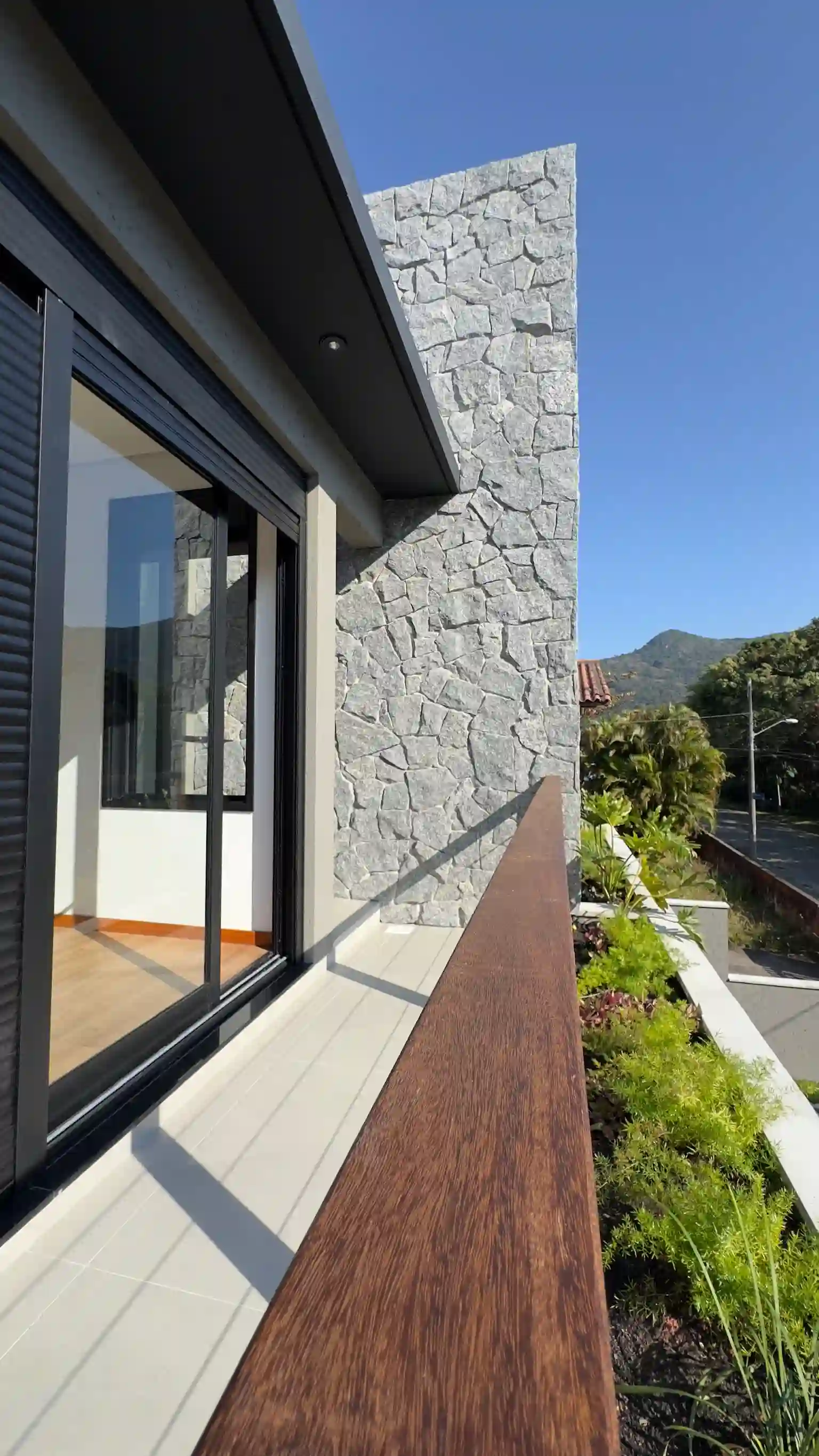
The South is not a single beach neighborhood. It is a connected group of districts and localities where coast, hills, lagoons, wetlands and established communities create very different day-to-day patterns within a relatively small part of the municipality.
Start with the geography, not a slogan
Florianópolis extends beyond the postcard outline of Santa Catarina Island. The IBGE municipal profile reports a municipal area of 674.844 km² for 2025 and a Census 2022 population of 537,211. Those city-wide figures establish scale; they do not describe how the South feels street by street.
The municipality’s Pântano do Sul district plan is more useful locally. It describes a southern district of hills, dunes and lagoon between Ribeirão da Ilha and the Atlantic shore, with beaches, rocky coast, slopes, restinga, wetlands and dunes contributing to its cultural and environmental identity.
That is the central trade-off. The landscape is not empty scenery waiting to be urbanised; it is part of the physical and planning context a buyer must understand.
What “lower density” does—and does not—mean
Current municipal estimates based on IBGE Census 2022 sectors make the contrast visible. The city’s official neighborhood table estimates Pântano do Sul neighborhood at 128.06 residents per km², compared with 2,011.31 in Campeche and 7,849.35 in Centro.
Those are administrative averages, not a quality score. A low-density district can still contain a busy access road, a compact village centre, seasonal visitor pressure or a closely built street. It also does not guarantee that the view next door cannot change.
Use density to frame a visit, then inspect:
- the immediate street and adjoining lots;
- weekday and weekend activity;
- pedestrian access and gradients;
- drainage after rain;
- service availability at the exact address;
- present zoning and recorded approvals.
Access is a routine, not one drive-time number
Travel times across Florianópolis respond to origin, destination, bridge and road conditions, weather, season and hour. A single journey captured during a quiet viewing is weak evidence for a resident who will make the trip several times a week.
Build a route diary before choosing an area. Test the property-to-airport route, the trip toward Centro, and recurring journeys to healthcare, schools, food shopping or work. Repeat the most important route in both directions and at the time it matters to you.
The municipal planning repository publishes district diagnostics, the mobility plan and statutory-map entry points. It helps explain the network at city scale, but it cannot predict a future commute from one house. Current road works and live traffic still need a near-term check.
Finite geography creates planning obligations
Coast and relief limit where roads and buildings can go, but “finite” does not mean frozen. Development can change within legal parameters, and environmental or cultural protections can constrain a parcel in ways that are not obvious from a sales listing.
Before treating a piece of land, renovation or view as secure, reconcile:
- the title and surveyed boundaries;
- municipal cadastral and zoning information;
- environmental and cultural overlays;
- legal road access and utilities;
- approved built area against the physical building;
- known public or private projects nearby.
The municipality’s GeoPortal and planning-consultation guidance is the correct starting point, not a substitute for an architect, engineer, surveyor or lawyer assessing the specific parcel.
Who the South tends to suit
The South deserves a closer look if your priorities include open-air time, a relationship with the coast and a lower-density base, and if you can plan around route variability. It is a weaker fit if every weekday depends on a short, predictable trip to several destinations across the city.
This is not a verdict for or against investment. It is a fit test. A buyer who values landscape but underestimates logistics may use the house less than intended; a buyer who has tested the routine may find the trade-off entirely rational.
Evidence limits and next visit
Municipal pages describe districts and planning systems at publication scale. Census-based estimates age, traffic changes, and one street can behave differently from its district average. No source here establishes a view, future appreciation, personal safety or buildability for an individual property.
On a second visit, take the same route at a different hour, walk the immediate area, locate daily services and request parcel-specific planning evidence. Then connect the place decision to the Florianópolis property-market guide and the general buying process.