
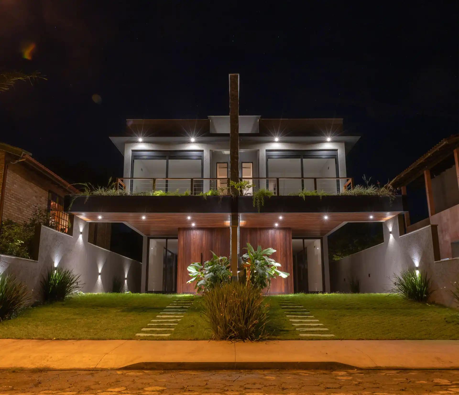
Pântano do Sul and Açores are closely related names, but they operate at different scales. Understanding that distinction prevents a buyer from treating a beach label, postal address, municipal district and property micro-location as interchangeable.
The official district and its fishing-community roots
The municipality’s Pântano do Sul district plan says the district was originally occupied by artisanal fishers, forming a traditional fishing nucleus. It also identifies beaches, rocky shore, slopes, lagoon, restinga, wetlands and dunes as part of the district’s cultural and environmental identity.
That history is context, not decoration. A visitor should approach working coastal places as communities rather than resort sets. Observe public access, fishing activity, local businesses and residential streets without assuming every part of the district serves the same function.
Where Açores fits
The municipality’s current neighborhood and district page places the official neighborhoods of Pântano do Sul and Armação inside Pântano do Sul district. It does not list Açores as a separate official neighborhood in that table.
In practice, Praia dos Açores and the Açores name identify a more specific coastal setting within the wider Pântano do Sul area. For a purchase, use all layers correctly:
- the everyday locality helps describe where the home feels connected;
- the street and postal address identify correspondence;
- municipal cadastral records identify planning and tax treatment;
- the matrícula identifies the registered property and rights.
If those descriptions do not reconcile, pause and have the seller, municipality, registry and your independent adviser resolve the difference.
A daily-life audit for this coast
A beach can be close while a regular errand is inconvenient, or a home can sit away from visitor movement while remaining connected to the wider district. Replace assumptions with a simple field audit:
| Decision | What to test on location |
|---|---|
| Regular travel | Route in both directions at the hour you expect to use it |
| Food and services | The actual shops, pharmacy and delivery coverage you would rely on |
| Walking | Gradient, pavement, lighting, crossings and public beach access |
| Weather exposure | Wind, salt, drainage and shade around the specific building |
| Year-round rhythm | A normal weekday as well as a weekend or holiday period |
| Connectivity | Mobile signal and fixed-internet availability at the address |
These checks are personal. The right result for a remote worker may differ from that of a family with daily journeys across the municipality.
Water and beach conditions are current information
Appearance is not a water-quality test. Santa Catarina’s environmental institute publishes point-specific results and dated reports through its live bathing-water portal. At the time this guide was reviewed, the portal showed report 36/2026 dated 14 July 2026.
Read the named sampling point and collection date rather than assigning one result to an entire coastline. Conditions can change after rain, runoff and later sampling. The portal assesses bathing-water quality; it does not assess currents, surf ability or every point along a beach.
Planning context remains parcel-specific
The municipal planning repository links district diagnostics and statutory planning maps, including environmental-limitation and cultural-preservation entry points. Use it to identify questions for the exact property, then request current municipal documents and qualified technical interpretation.
On a coastal purchase, investigate approved construction, setbacks, drainage, legal access, sewer or wastewater arrangements, environmental overlays and the status of every built element. A completed-looking house is not proof that every record aligns.
The exact Casas Açores relationship
Casas Açores is the commercial listing connected to this editorial guide. Its shared record locates the property in Pântano do Sul district and links the offer to the Praia dos Açores setting. The property card below is the authoritative site component for changeable offer facts.
That relationship does not make the house representative of all Pântano do Sul property, nor does the guide validate its title. Visit the house and route as one specific micro-location, then conduct independent legal, cadastral and technical due diligence through the buying-process framework.
Evidence limits
Municipal boundaries, local place names and marketing descriptions answer different questions. The sources here do not promise quiet, water quality on a future date, a particular journey time, personal safety or future value. They provide a disciplined way to verify a place before moving from interest to commitment.