
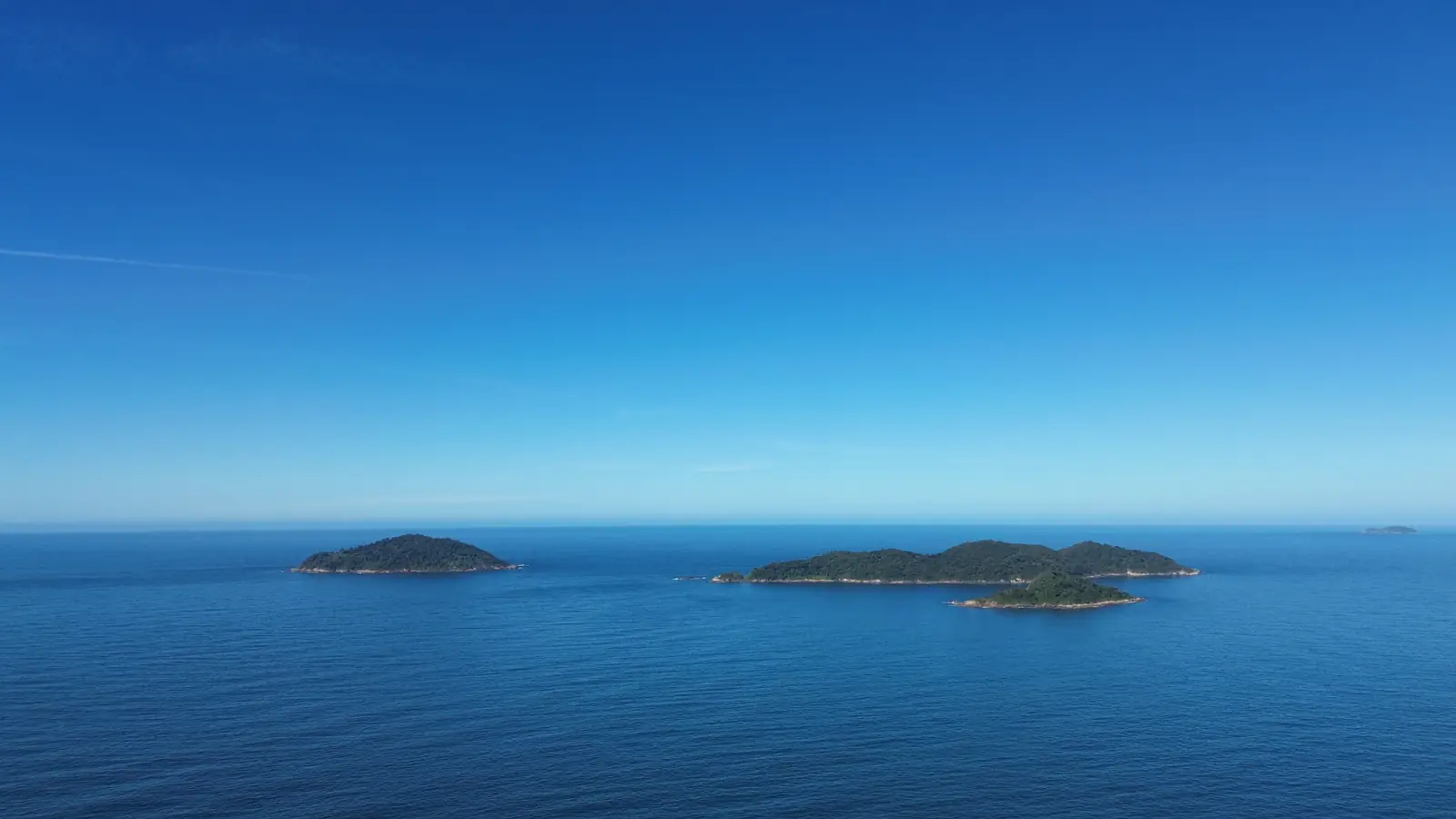
The useful question is not “Does Florianópolis have good beaches?” It is “Which coast works for this activity, on this day, for this person?” Orientation and local geography mean that nearby stretches can respond differently to the same Atlantic weather.
Do not build the story around one beach count
Published totals vary because sources can count named strands, small coves, mainland shoreline and connected sections differently. A large number makes easy marketing copy but does not help a buyer decide where to swim, surf or live.
This guide therefore avoids an unqualified total. It works from named places, mapped access and current conditions. The municipality’s Pântano do Sul district page, for example, describes a connected landscape of beaches, rocky shore, slopes, lagoon, restinga, wetlands and dunes rather than reducing the South to a count.
Exposure changes the experience
Beach character is produced by several moving inputs:
- swell direction and period influence which coasts receive energy;
- wind direction and strength can improve or disrupt surface conditions;
- tide changes water depth, currents and how some breaks behave;
- sand movement can alter banks and shorebreak;
- headlands and islands can shelter one section while another remains exposed;
- recent rain and runoff matter for water-quality decisions.
That is why “the beach near the house” should be observed more than once. A calm walk, a swimming day and a surf session are three different use cases.
Forecasts are inputs, not permission
Surfline’s Florianópolis spot and forecast directory tracks named breaks including Praia dos Açores, Joaquina, Campeche, Armação and Lagoinha do Leste. Its live ratings show the core point: conditions change by break and time.
Use a forecast to form a question, then verify at the beach. Model output can miss local wind, shifting banks, crowding and hazards. If you do not know the break, seek local advice, watch from shore and follow lifeguard instructions. Do not paddle out merely because an app uses a positive colour or label.
For beginners, the right decision may be a lesson at a managed location or not entering the water. For experienced surfers, unfamiliar power, access and exit routes still deserve respect.
Water quality is a separate check
Santa Catarina’s IMA publishes current and historic point results on its bathing-water portal. The interface records the monitoring location, collection date and classification; it also publishes dated reports throughout the monitoring cycle.
Use the latest named point rather than a screenshot or an old general statement. A result can change after rain or later sampling, and one monitored point does not prove the status of every metre of coast. Bathing-water classification also does not measure wave or current safety.
Seasons change routines, not just temperature
The calendar influences daylight, visitor patterns, weather and the equipment people choose, but it does not guarantee wave size or a calm sea. A resident’s practical surf season is the overlap between suitable conditions, ability, work schedule, access and willingness to adapt.
For a property decision, ask:
- Will I use this beach for walking, swimming, surfing or simply outlook?
- Is the route comfortable with the equipment or family members involved?
- What is the fallback when wind, swell, water quality or crowding is unsuitable?
- Am I willing to drive to another coast when local conditions do not match?
A flexible answer can make the island’s range valuable. A requirement that one nearby break work every morning is much harder to satisfy.
Match the coast to the person
| User | Useful evidence | Warning sign |
|---|---|---|
| Family swimmer | Current IMA point, lifeguard status, entry and shore conditions | Treating visual calm as proof of safe water |
| Beginner surfer | Qualified instruction, managed access, ability-matched conditions | Selecting a break from wave height alone |
| Experienced surfer | Same-day swell, wind, tide, crowd and exit assessment | Assuming experience elsewhere transfers automatically |
| Coastal walker | Public access, tide, terrain, lighting and weather | Relying on a map line without walking the route |
| Home buyer | Repeated visits in different conditions and seasons | Pricing a house from one perfect beach day |
Evidence limits and safety boundary
Forecasts expire quickly, monitoring is point-specific and beaches are dynamic natural environments. This page is not a live safety service. On the day, consult the latest forecast and water report, observe flags and signs, follow lifeguards, and use local advice appropriate to your ability.
The real-estate implication is modest but important: coastal access has value only when the way you intend to use it survives ordinary variability. Keep that distinction when comparing the property market or an individual listing.